Saratoga to Fish Creek
Retracing the S & S ROW - Section 1

Moving eastward from Saratoga, this page details the
All Historical Photos referenced on this page are courtesy of the Saratoga & Schuylerville Railroad site by Gino DiCarlo.
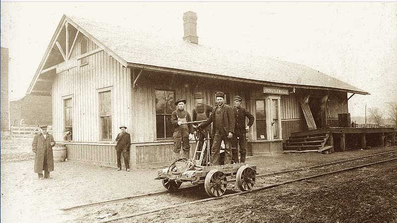
Saratoga in 1902
The Saratoga & Schuylerville Railroad Right of Way (ROW) followed the Spring Run River eastward out of Saratoga.
I believe—according to a former posting on the Existing Stations in New York State site—the Kane's Fine Wine & Spirits Building on Lake Ave, near the Saratoga Armory (now the Military Museum) was the Saratoga Station of the Saratoga & Schuylerville Railroad.

East Ave - Saratoga
Scroll to the right (swipe left) to compare photos shot at same location / same angle. Note hill in background. The Spring Run trail sign (photo further below) is located right across the street from the bright red-orange sign on the telephone pole.<
![]()

The Engine House
 The engine house is still standing but is now EBI Beverage... Scroll to the right (swipe left) to see it's transformation.
 ![]()

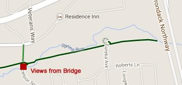
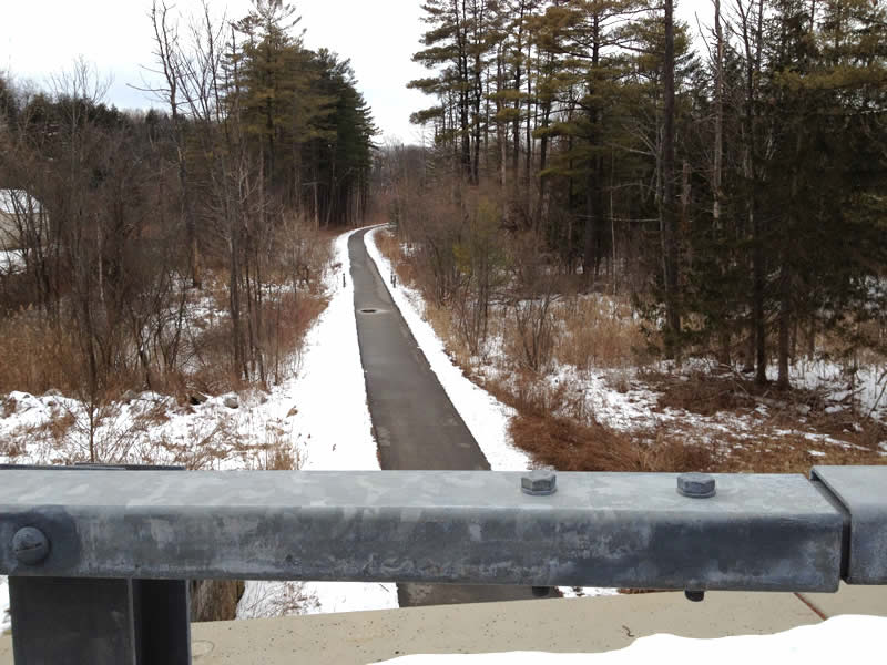
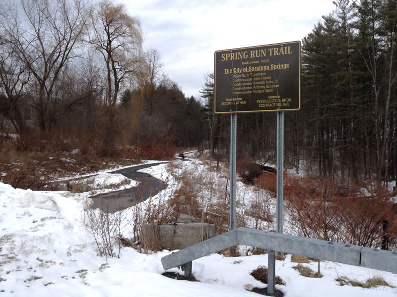
Spring Run
 The Spring Run Trail runs on the former roadbed of the railroad and all goes all the way to the Northway. The photo showing the slight curve in the trail was taken from the EBI Beverage parking lot (the site of the former engine house).
The Excelsior Spring Ave Bridge crosses over the trail at a picturesque spot.


Weibel Ave
Didn’t get a chance to visit Weibel Ave but the aerial clearly shows where the ROW picks up after the Spring Run Trail ends…

Schellen Road / Old Schuylerville Road
There's a no tresspassing sign on the northside road but the southside (Schellen Road) was accessible.


Bog Meadow Brook North
Going west on Route 29 you see the Bog Meadow Brook Trail entrance on the right. Looking back northwestward it's a little difficult to exactly determine the ROW but the Bog Meadow Brook Nature Trail has wonderfully preserved the ROW for the next two miles. Further Trail Info >


Bog Meadow South Explorations
Going west to east from Stafford's Bridge Road, there were four spots I stopped to explore and photograph...


1 - Bridge Ruins
Right off the side of the road, I noticed some old railroad bridge remnants, so I hiked in to examine it more closely. Click the link below to start short user-driven slide show.
Bog Bridge Photos (4 Slides)


2 - Crazy Bog Walk
I parked at the designated lot for the trail head which was 700 ft further south on the road. I had this crazy notion to take a short hike across the bog to locate the curved ROW heading northward. During any other season, this short jaunt would be of course be impossible due to the thick mud and standing water but being a cold winter day, it was frozen so I charged in. Well the ice broke a couple of times and I had to struggle to yank my water-logged muddy boot out of the swamp gunk but I made it to where the ROW was. Sadly it was hardly worth it. Although the ROW is clearly visible from satellite maps, it was only vaguely discernible up close!

3 - South End of Bog Meadow Trail
The south end of the trail is a little hard to find - as mentioned above, it is 700 ft south of the parking area. But as the photos indicate, the ROW is clearly visible.


4 - Walk Toward the River
The power of nature... From the satellite map photos, the ROW is clearly discernible as it traverses an open flood plain area along the river. I thought it would be an easy trek, walking on a raised embankment surrounded by open fields or a sandy floodplain. Strangely... staying on the ROW was difficult as the ROW was overgrown with trees and scrub while the surrounding plain was open and free of trees, etc. It would appear that the dirt on the embankment was more conducive for forest growth. I only made it in hundred feet or so, but the occasional rotted tie here and there confirmed it was the old railroad track. ["Outhouses in trees" Sidebar ]

Fish Creek Crossing
Remnants of the old trestle...
