Tracing Remnants of the Shepaug Railroad (SL&N) - Part Two
Hawleyville to Bethel
In 1872, the Shepaug Railroad reached an agreement with the Danbury and Norwalk Railroad to operate trains on that company's newly constructed 6-mile (9.7 km) Hawleyville Branch to Bethel. This branch was abandoned in 1911.

Google Street Views and Bing Bird's Eye Views

Google and Bing have a few interesting views...
Hawleyville
- Looks like an abutment here (part of the old Wye). This is just north of 87 - Behind Large House on Land’s End Road
Bird’s Eye View > - Looks like an abutment here as well
Bird’s Eye View > - Follow it northeastward after it crosses over Old Bethel Road
Bird’s Eye View >
- South of Walnut Hill Rood - Note row of Conifers along old ROW. Zoom out and scroll to the left to follow eastward
Bird’s Eye View > - Plum Tree Road and Dibbles Brook - Note Property Lines sweeping Northeasterly -
Map > | Bird’s Eye View shows the ROW in the center of the Aerial - Taylor Road - Note Property Lines
Looking southwest > | Looking northeast >
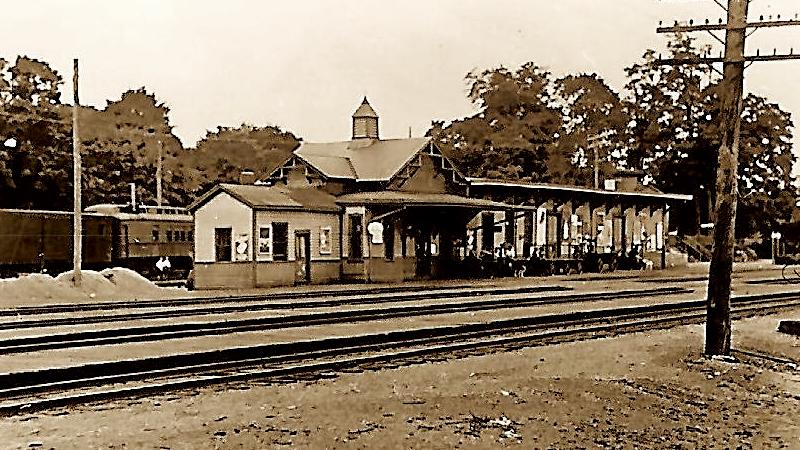
Bethel
- Plum Tree and Whittlesey
Bird’s Eye View shows the old bridge - Judd Ave and Reynolds Ridge - Note Property Lines - Map >
Bird’s Eye View shows the ROW - Main St and Prospect - Street View >

World Topo 4U
For those of you who enjoy “researching in the field”, the World Topo 4U is the clearest indicator where to locate the abandoned ROWs.


March, 14th Trek - Photos
On March 14th, 2015—after giving a presentation/lecture in Newtown on the history of railroads in the area (PDF) —I ventured out with a friend to capture a few "photos in the field". We started at the Hawleyville Wye and trekked southward. Unfortunately the weather was exceptionally crappy (rainy and overcast) but nevertheless we were able to snap a few pics. Letters on the photos match the location on the map(s) above.


Note the line of trees mark the old ROW

The old bridge is clearly visible from the main road.

A short jaunt up Prospect Street reveals the ROW below.

Further Info and Photos
- Shepaug, Litchfield and Northern Railroad (Wikipedia)
North of Newtown | Hawleyville to Bethel