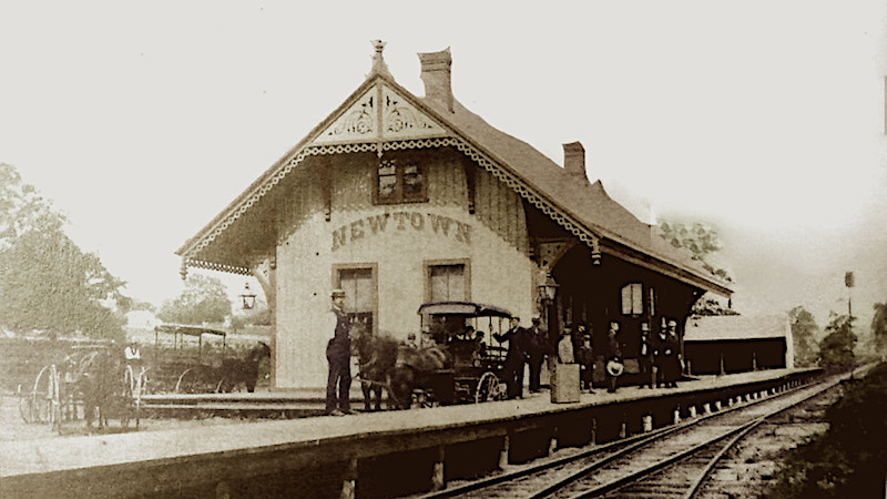
Overview of Newtown Railroads
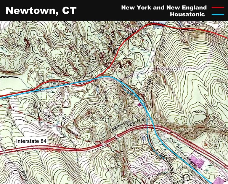
Selecting the Topo choice in Acme Mapper shows where the old railroad lines were by clearly indicating embankments.
Acme Mapper - Newtown (new window/tab)

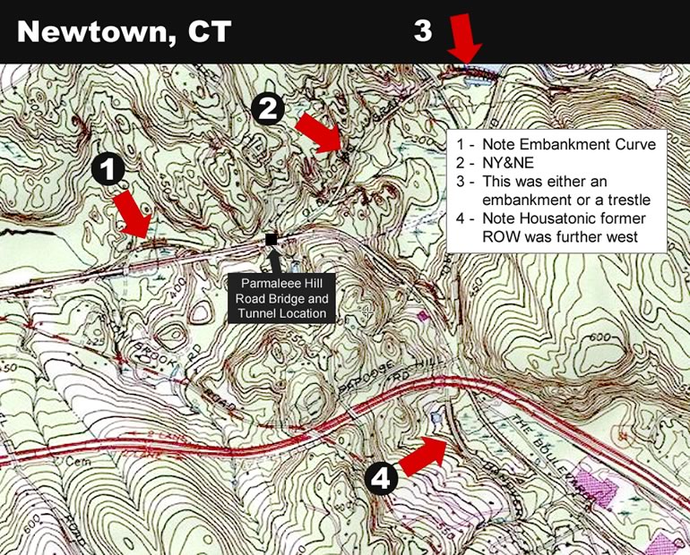
Where the railroads intersected at the tunnel location, the curve of the lower level NY&NE becomes apparent.
The World Topo 4U is the clearest indicator of the current and orginal ROWs.
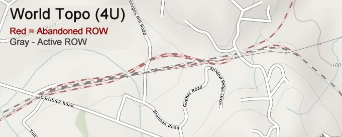
In addition, the "missing section" of embankment visible from Echo Valley Road (#3) is indicated on the map; as well as the reroute of the Housatonic as it approaches Newtown from the northwest (#4).
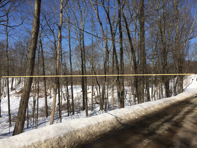
Bing Map's Bird’s Eye Views are leafless and show the curves of the old routes very well
Hawleyville Tunnels | Tracing NY & NE RR | Tracing Shepaug RR Remnants | Newtown Railroad Details | Danbury and Harlem Trolley
^ top ^