Please use your device in landscape view.
Ballston Spa to Round Lake
Retracing the Hudson Valley Railway - Section 1
Starting somewhat south of Ballston Spa, this page details the HVRR ROW from Ballston Spa to Round Lake.
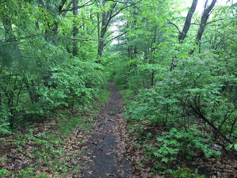
East of the Zim Smith Trail
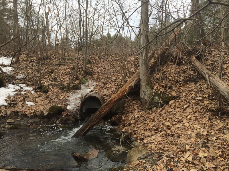
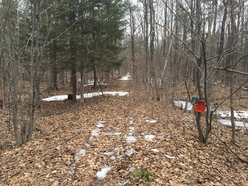
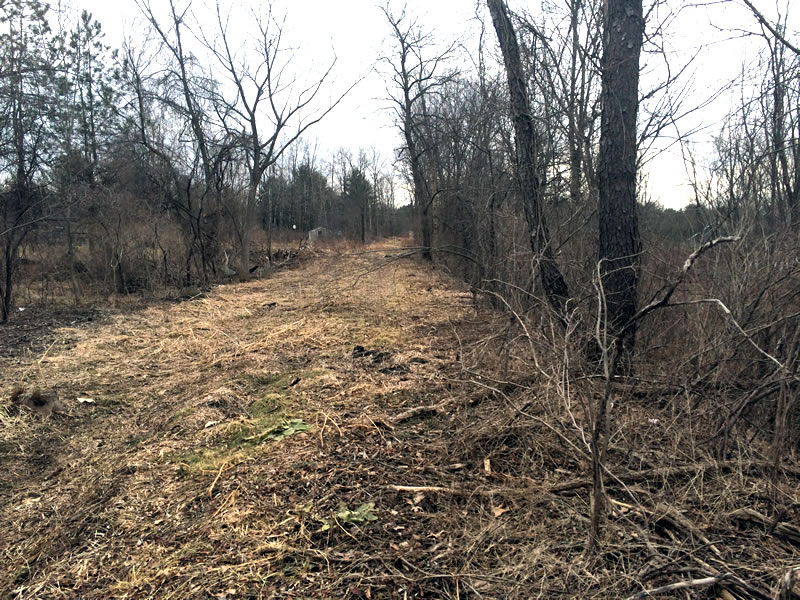
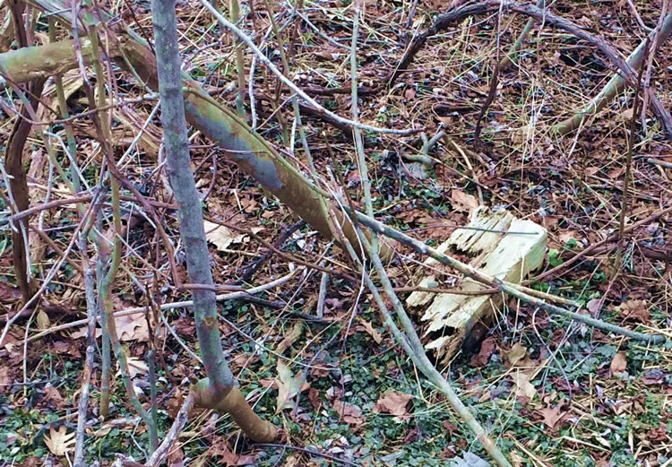
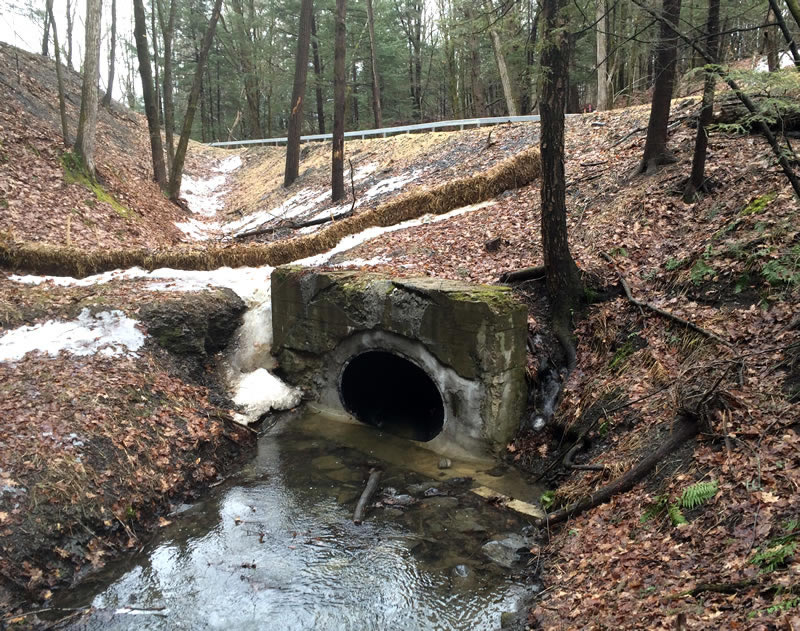
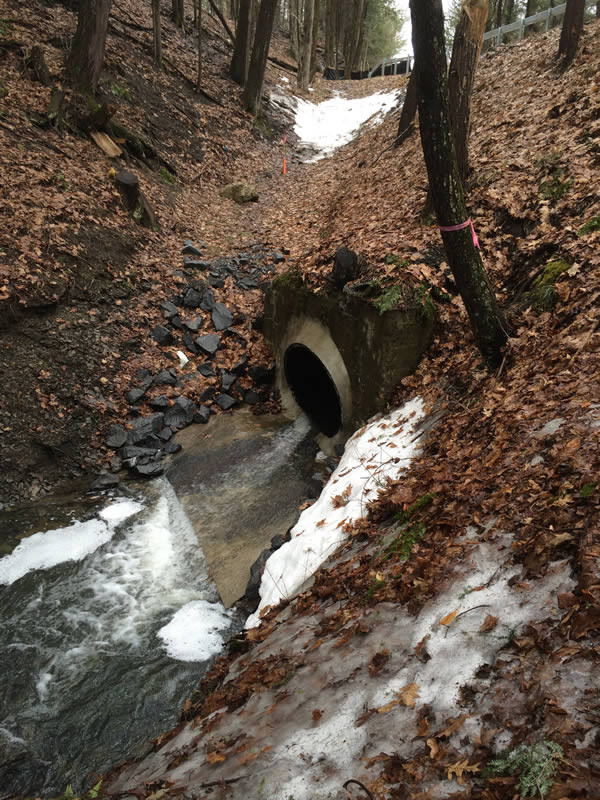
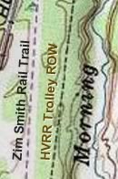 After encountering one too many "No Trespassing" signs and being frustrated (see below), persistence and patience paid off at this location. After walking a few hundred feet north on the Zim Smith trail entrance at Underpass Road, a short easterly trek thru the woods revealed the ROW. I hiked northward for a good distance and snapped a few shots and shot a couple of short videos (link below). Frequent horse droppings confirmed it was still being used by local equestrians. A hike off to the side of the ROW enabled the shot of the embankment thru the marshy area and the old iron culvert. The end of the line for this side trek was the no trespassing sign...
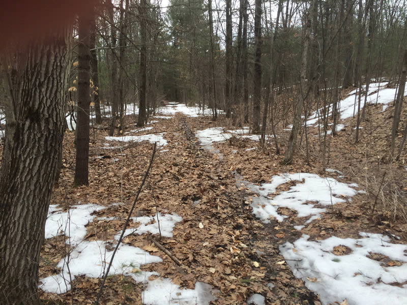
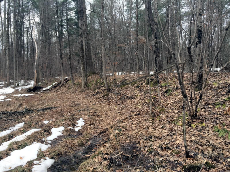
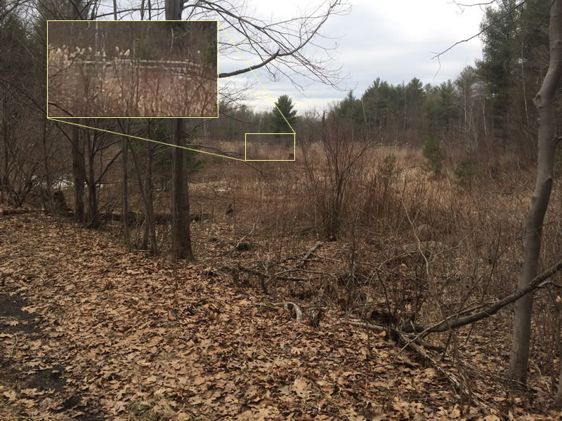
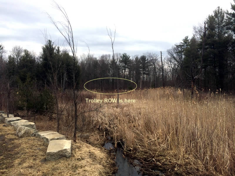
You can catch a glimpse of the rail trail fence in the distance at the open marshy area. Imagine back when both the train and the trolley were operating ... you could see a trolley cruising along off to the east while sitting on the train! ["Did giants once live here?" Sidebar ]
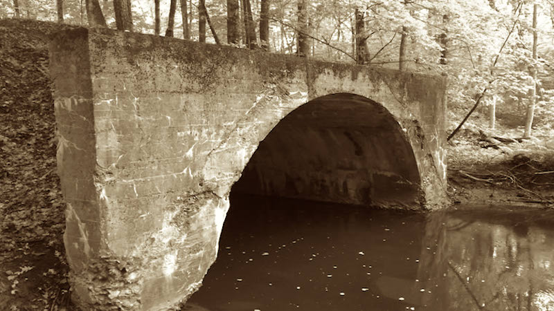
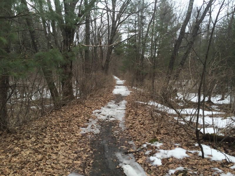
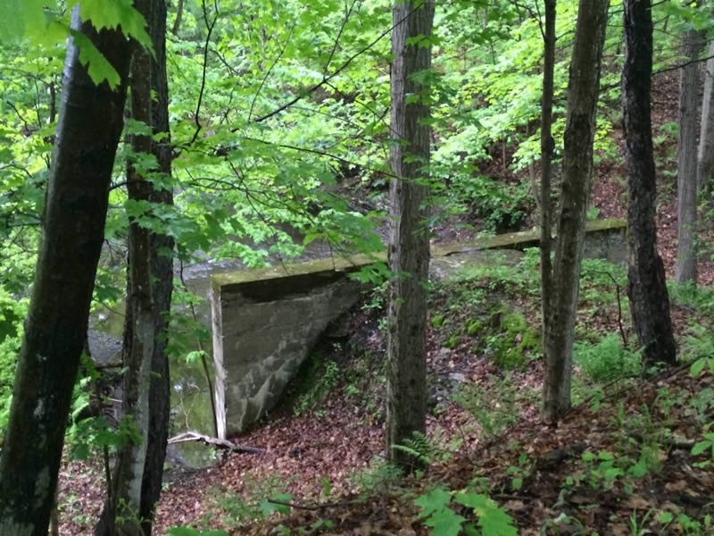
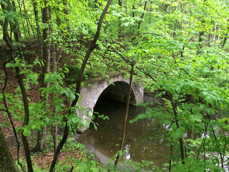
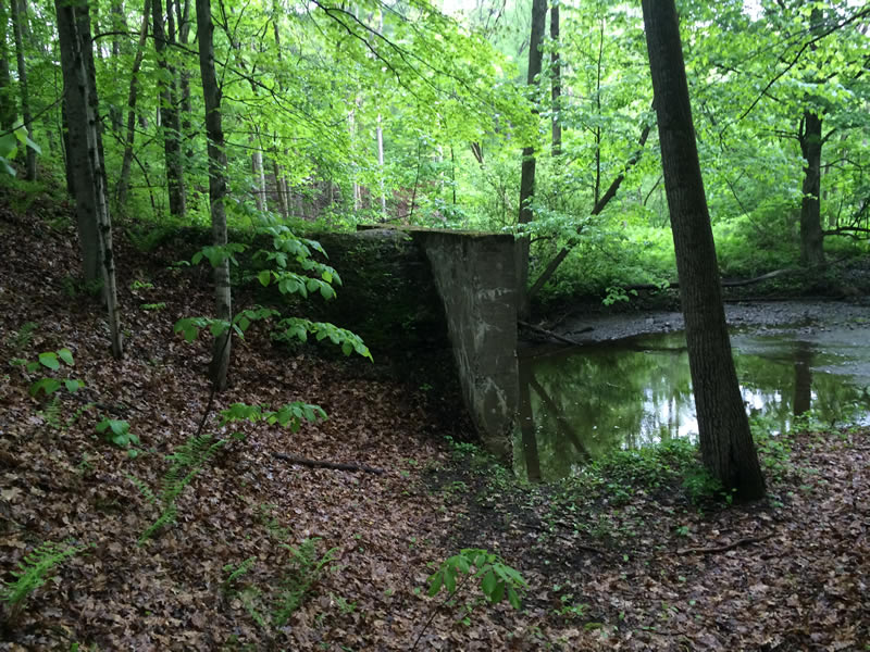
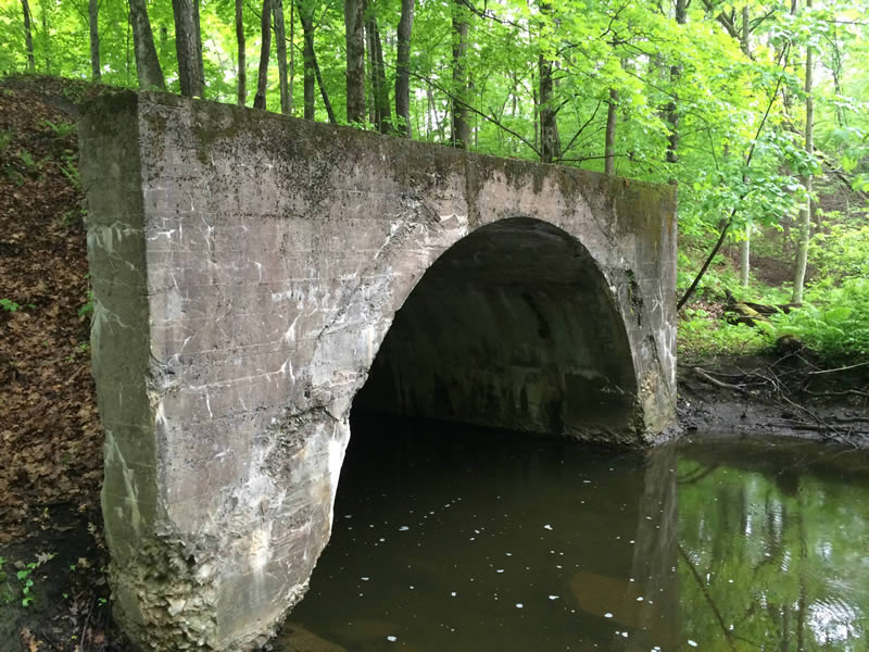
Bridge Over The Morning Kill
A bit further south, the bridge spanning the Morning Kill is still intact. This stretch of the ROW is appraently still used as an equestrain trail.
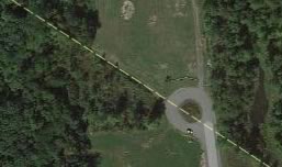
Bird's Eye View
Using Bing Bird's Eye View, you can get a nice view of the bridge in the midst of its surroundings.
View a short user-driven slide show of the bridge...
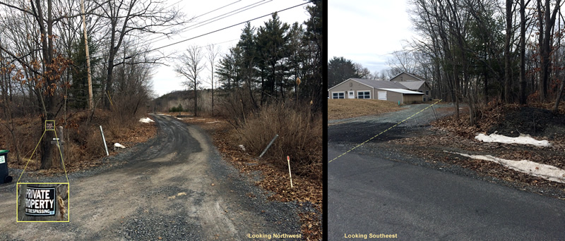
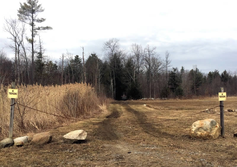
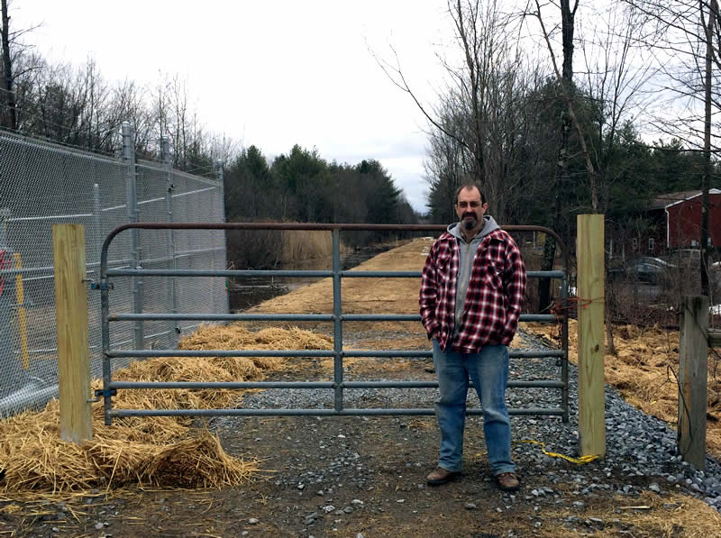
End Of Commerce Drive
Bummer… stymied for further exploration along this stretch by the no trespassing signs :-(
Looking northwest
East Line Road Crossing
The ROW is kept clear along here for a natural gas pipeline that continues northwesterly to the industry popping up on Commerce Drive. This map I found online details the entire route of the pipeline (GlobalFoundaries in Luther Forest is hungry).
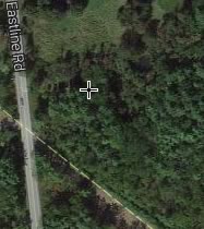
Looking southeast
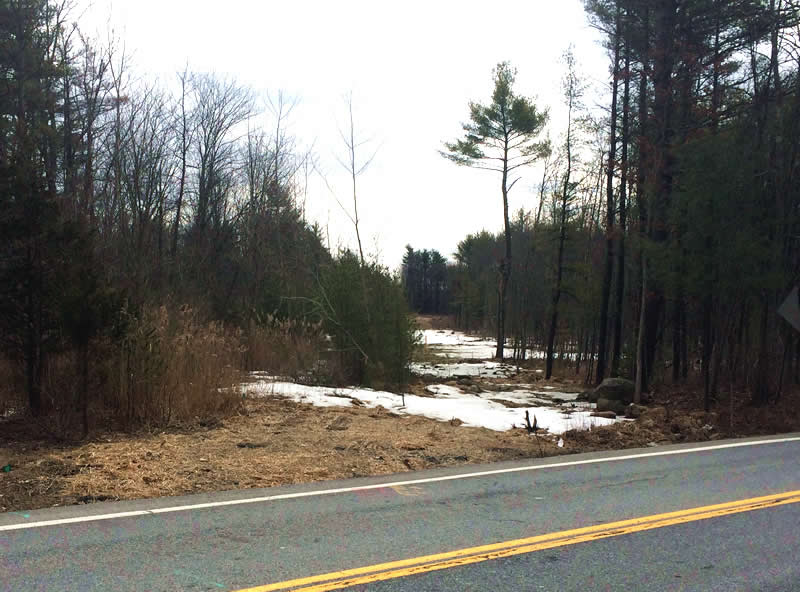
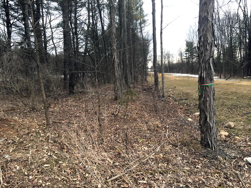
At Raymond Road / Timber Tree
Kinda cool - the ROW runs right next to this small suburban development on Timber Tree. I wonder how many residents are aware of this?
Looking northwest
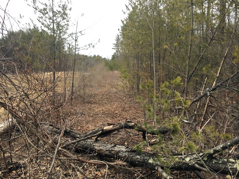
Looking southeast
Rt 67 at Double M Western Tack Store
I had much better luck at this intersection, the ROW was very apparent and there was even an old railroad tie.
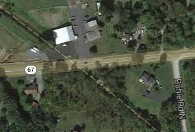
Looking northwest
Looking southeast
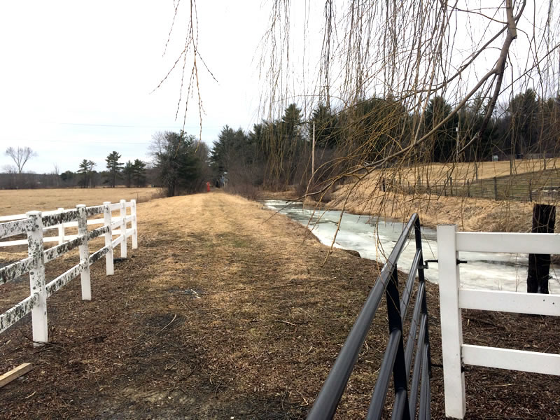
Ruhle Road
We were pleasantly surprised by the apparent recent upgrade of this ROW – this street view shows it completely different!
We walked all the way down to the Ballston Creek Crossing and captured it on camera. This area is definitely worth revisiting and trekking on further south as the scenery is beautiful (the Shenetatha Park encompasses this section.)
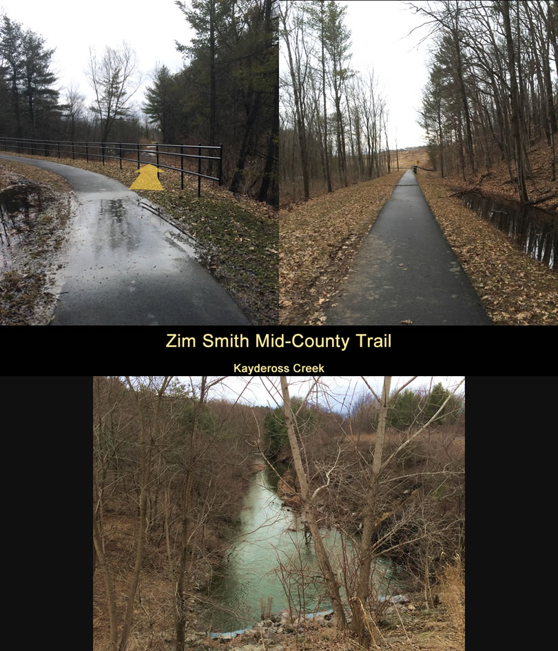
Zim Smith Mid County Trail
Not having brought a bike — due to extremely crappy weather conditions everywhere when I left from Connecticut (rain, ice and mud) — I succumbed to my insatiable curiosity and walked (instead of rode) to the recently constructed rail trail connector. We started at Route 9 and hiked up and back to where it connects to the Zim Smith main Rail Trail.
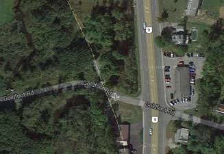
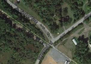
Note: As the satellite map illustrates, the route to the forrmer trolley ROW is a wide sweeping curve that winds down the 100 ft elevation change from the road to the trolley bed.
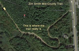
At the bottom of the curve, you can see where the trolley line continued south to Goldfoot Road thru private property. This stretch of the highly developed1 Rail Trail Connector parallels the Kayaderosseras2 Creek and we were blessed with seeing a few blue herons in the trees and on the river. There is even a steep path down to the water’s edge. ["Mystery Rusty Metal Things" Sidebar ]
- Paved, fenced and even with strategically placed park benches
- The Kayaderosseras Creek is usually shortened to just "Kaydeross"
Goldfoot Road off Route 9
At Goldfoot Road, the ROW north is a private road. As you can see from the aerial view, it is now a loooong driveway.