
Please use your device in landscape view.
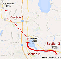
Round Lake to Mechanicville
Retracing the Hudson Valley Railway - Section 2
Starting off Route 9 directly south of Round Lake this page details the HVRR ROW from Round Lake to Willow Glen (Mechanicville).
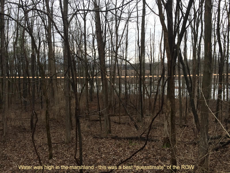
Marshland just south of Round Lake
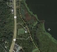
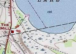
Private homes exist along parts of the ROW directly southwest of the lake. When trekking out behind the Mill off Route 9, one can easily take in an overview of the marshland. Disappointedly, no discernible trace of the ROW could be seen. Being springtime and with the recent incessant rains, the wide expanse of marshland south of Round Lake was high and probably obscured any trace still left of the ROW.
["Mystery Steps?" Sidebar ]
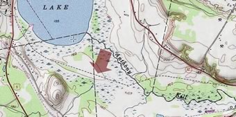
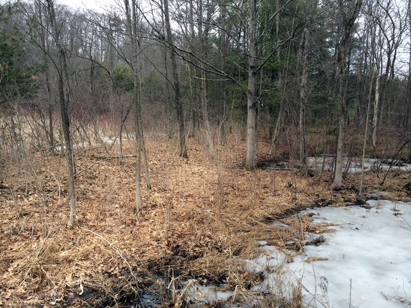
North of Coons Crossing
Traveling southeast on English Road we made our way to Coons Crossing. The Zim Smith Rail Trail ends here as well. We fortunately found a short jeep access trail a few hundred feet north of the Coons Crossing intersection (aerial view) and found a clear indication of the ROW. As you can see from the old topo map posted above; after this spot, the trolley line soon veered into the marsh to make its way north toward Round Lake.
Looking westerly

Looking easterly

Coons Crossing
It was surprisingly difficult to see any visible signs here of the old ROW, Looking northwesterly, there was nothing but thick scrub... but a short walk southeasterly on the other side of the road revealed the slight embankment.

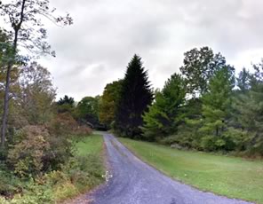
Sweeney Road
As the Street View shows, looking back westwardly, the private driveway occupies the ROW.
Eastward, you can vaguely discern the slight embankment.
Willow Glen Bridge
The grand finale of our trek was seeing the bridge at Willow Glen. It was truly spectacular... Continue >