Please use your device in landscape view.
Northern NY Interurbans
Maps and Details on the Interurbans Systems in New York
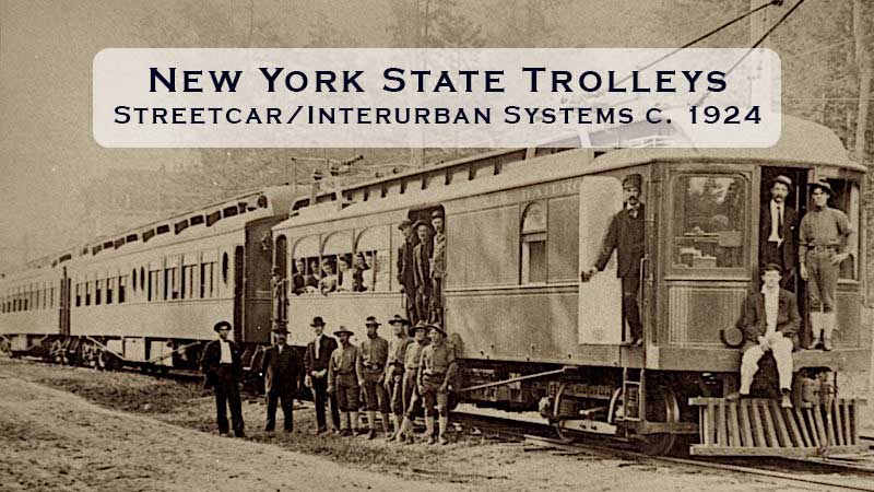
 Sparsely populated, with most of the area dominated by the Adirondack mountains, northern New York State had little interurban development. Plattsburgh and Watertown were the largest “urban” areas and each had short but useful trolley lines.
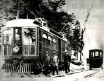
Paul Smith's Electric Railway, in the heart of the Adirondacks, was built to connect his hotel to the nearby railroad and even provided switching services to bring wealthy visitor’s luxurious private parlor cars to a siding next to the hotel. “A millionaire city dweller could embark in the privacy of his luxuriously equipped car which, upon arrival at Lake Clear Junction, would be switched to the Paul Smith trolley for the final leg of the journey.” - Historian John Duquette
Northern NY Area Map
Pan and zoom in and out on the map below for a detailed understanding of the various trolley companies in service in 1924.
Zoom in and out using the mousewheel. Once enlarged, left mouseclick and drag to pan. On mobile touch-enabled devices the usual pinch gestures can be used to zoom in and out and tap and drag to pan around.

Interurban Timelines - Predecessors/Mergers/End of Life
Watertown ![]()
- 1891-1901 - Watertown & Carthage Traction Co.
1901-1937 - Black River Traction Co.
Paul Smith's Electric Railway ![]()
- 1906-1928 - Electric Powered
1928-1932 - Gas Powered
Plattsburgh ![]()
- 1895-1929 - Plattsburgh Traction Company
Further Details
Please use the browser's back button to take you back to this site.
Source/Credits
 |
The Electric Interurban Railways in America |
David Rumsey Historical Map Collection
- 1924 New York State
(eastern Section) - 1924 New York State
(western and northern sections)